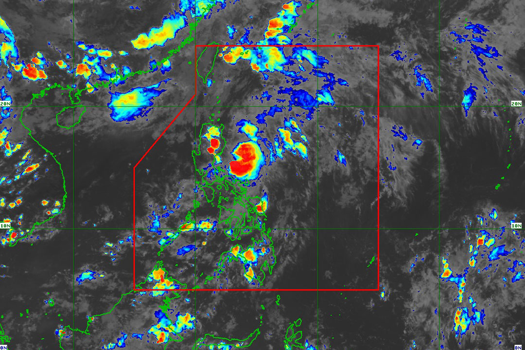
PAGASA says Aghon will intensify as it exits PHL Wednesday

By Adrian H. Halili, Reporter
THE STATE weather bureau said on Monday that typhoon Aghon (international name: Ewiniar) is expected to further intensify and may leave the Philippine Area of Responsibility (PAR) by Wednesday.
In its 5 p.m. bulletin on Monday, the Philippine Atmospheric, Geophysical and Astronomical Services Administration (PAGASA) said the typhoon was last seen 155 kilometers east of Casiguran, Aurora.
The typhoon is projected to move in a generally northeastward direction over the Philippine Sea for the entirety of the forecast period.
“Aghon will continue to intensify over the next 24 to 36 hours as it moves northeastward over the Philippine Sea,” it added.
“A weakening trend may begin on mid or late Wednesday as the typhoon begins interacting with the mid-latitude environment and undergo post-tropical transition,” PAGASA said.
It was moving northwestward at 10 kilometers per hour (kph) with maximum sustained winds of 140 kph near the center and gustiness of up to 170 kph.
“Typhoon Aghon is less likely to directly bring significant amount of rainfall within the next three days,” it said.
PAGASA raised tropical wind Signal No. 1 over the eastern portion of Quirino, the southern portion of Nueva Vizcaya, the eastern portion of Isabela, Aurora, the northern portion of Quezon, Polilio Islands, and the northwestern portion of Camarines Norte including Calaguas Islands.
“Minimal to minor impacts from strong winds are possible within any of the areas under Wind Signal No. 1,” it added.
Wind speeds of 39 to 61 kph is expected within at least 36 hours intermittent rains may be expected within 36 hours.
Additionally, PAGASA had hoisted a gale warning over the areas of over the coastal waters of Cagayan (eastern portion), Isabela, Aurora, and the northern coastal waters of Quezon including Polillo Islands.
“Sea travel is risky for small seacrafts, including all motorbancas of any type of tonnage,” the state weather bureau said.


