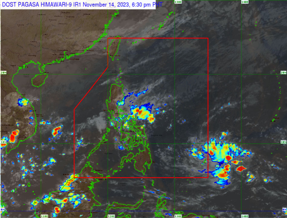
THE TROPICAL depression east of Mindanao has weakened into a low-pressure area (LPA) as it moves “erratically” outside the country in the next 24 hours, the Philippine Atmospheric, Geophysical, and Astronomical Services Administration (PAGASA) said on Tuesday.
But PAGASA warned: “A slight improvement in the environmental conditions will allow this disturbance to reorganize and re-develop into a tropical depression.”
The LPA, moving at 10 kilometers per hour, may enter the Philippine Area of Responsibility (PAR) by late Wednesday or early Thursday. If it redevelops into a tropical depression within the PAR, it will be named “Kabayan.”
PAGASA warns that the LPA, combined with the northern monsoon, could bring heavy rains to eastern Mindanao on Friday and the eastern parts of the Bicol Region and most of Visayas on Saturday.
Additionally, rough to very rough seas are expected along Luzon and the eastern seas of Visayas in the next five days. The potential strengthening of the LPA may trigger moderate to rough seas along the eastern seaboard of Mindanao by Friday. — Adrian H. Halili


