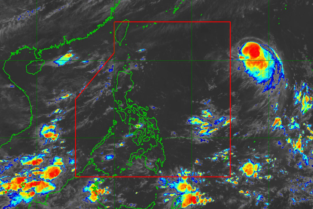
SEVERE Tropical Storm Podul tracked northeast of Luzon continued to intensify as it makes its way into the Philippine Area of Responsibility (PAR), the local weather bureau said on Sunday.
In an 11 a.m. advisory, the Philippine Atmospheric, Geophysical and Astronomical Services Administration (PAGASA) said that Severe Tropical Storm Podul has continued to accelerate while maintaining its strength.
“Podul may enter the PAR between tonight and tomorrow early morning. On the track forecast, Podul may pass close or over the southern Ryukyu Islands on Wednesday (Aug. 13) morning. Furthermore, a landfall scenario over Taiwan on Wednesday afternoon or evening is also not ruled out,” PAGASA added.
The agency noted that Podul is unlikely to directly affect the weather and sea conditions in the country within the next five days.
The storm was last seen 1,680 kilometers east of extreme Northern Luzon, moving westward at 25 kilometers per hour (kph). It had maximum sustained winds of 110 kph near the center, gustiness of up to 135 kph.
The severe tropical storm is forecast to move generally westward today (Aug. 10) and on Monday (Aug. 11), then west northwestward or northwestward from Tuesday.
“There is large uncertainty in the projected track and intensity of Podul from Monday through the end of the forecast period since any northward or southward shift in the track forecast will significantly change the intensity forecast,” it said. — Adrian H. Halili


